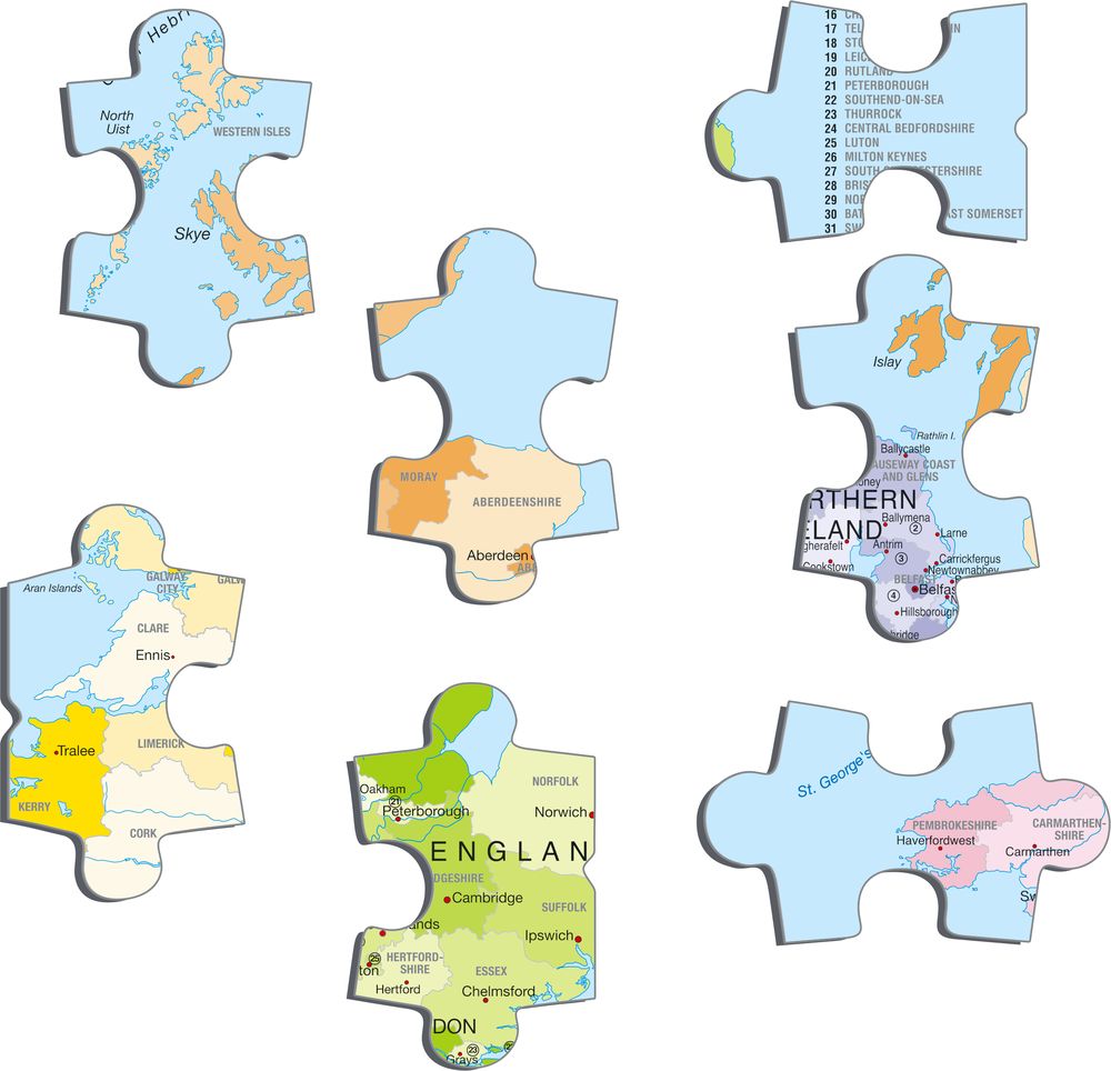
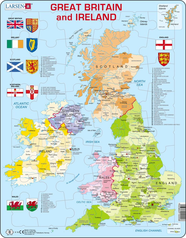
K18 - Great Britain & Ireland Political Map
Maxi (36.5x28.5 cm) with 48 pieces
Take a tour of Great Britain and Ireland with this illustrative political map puzzle. As Great Britain is one of the few remaining kingdoms in Europe, you'll find this political map puzzle features the names of each country, district, and city. It includes pictures of oceans dividing or connecting them and features 6 flags and "Coat of Arms". The illustrative demonstration on the map puzzle includes many towns and cities in Great Britain and Ireland. With this puzzle, you'll find 48 larger pieces with similar shapes which encourage the child to familiarise themselves with either the colours of the flags or the names on the map. The puzzle is aimed at slightly older children, familiarising themselves with Great Britain.
K18 - Great Britain & Ireland Political Map is available in the following versions:
- English (EAN/GTIN: 7023852102206)


